
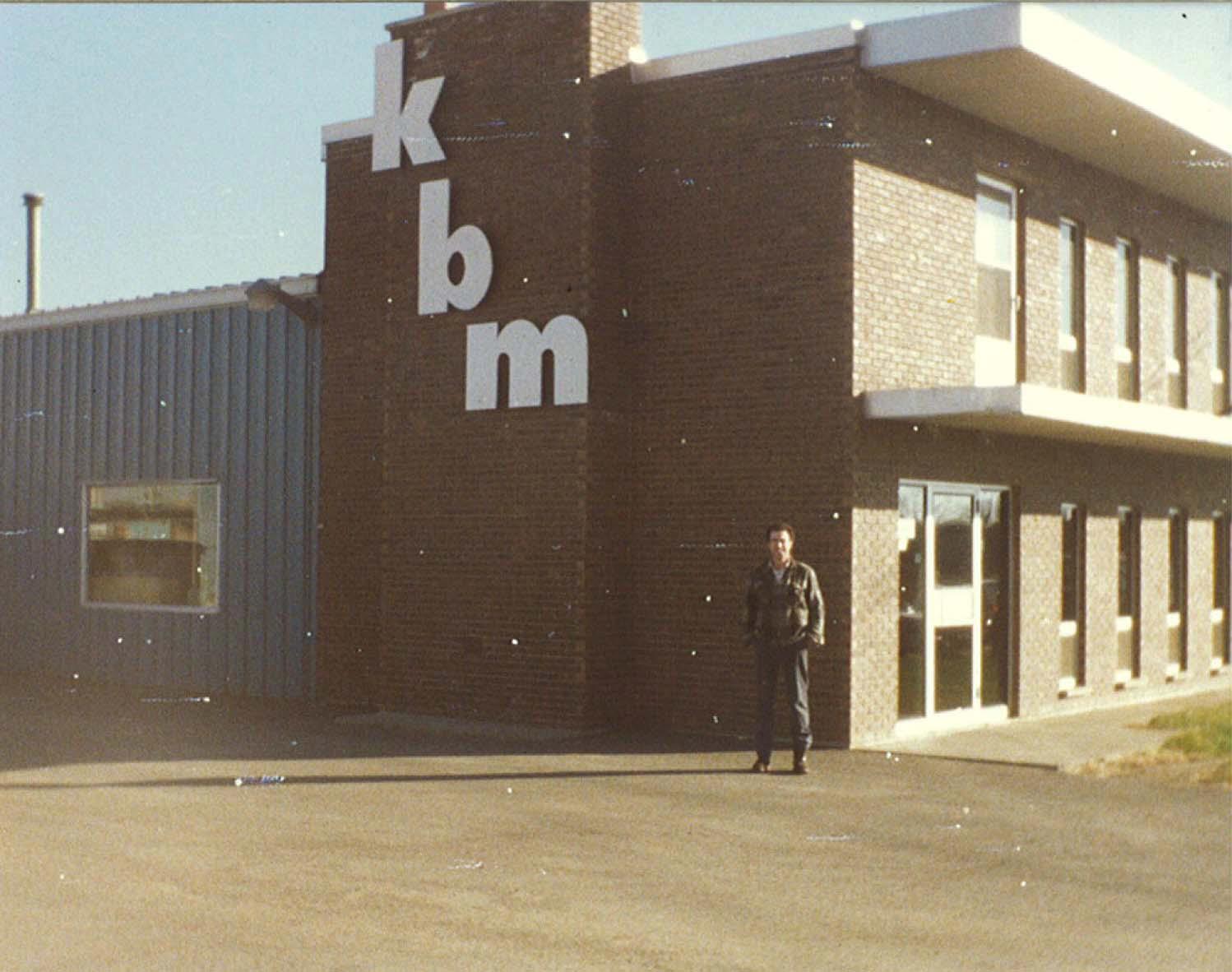
Founded in Ontario in 1974, KBM is an independently owned and operated company with a long-standing commitment to quality and innovation.

For over 50 years, KBM has evolved to include four complementary and tightly integrated business divisions serving a wide range of clients and industries:
KBM Aviation specializes in remote sensing data acquisition. We own and operate several drones along with a fleet of fixed-wing aircraft, each specifically modified for the safe and efficient collection of large-scale, high-resolution aerial photography, video, LiDAR, and geophysical datasets.
KBM Geomatics specializes in advanced geospatial data processing and analysis, leveraging state-of-the-art hardware and software to deliver a full range of mapping and spatial solutions — from interactive web-based platforms to detailed cartographic products, spatial datasets, and decision-support tools tailored to each client’s needs.
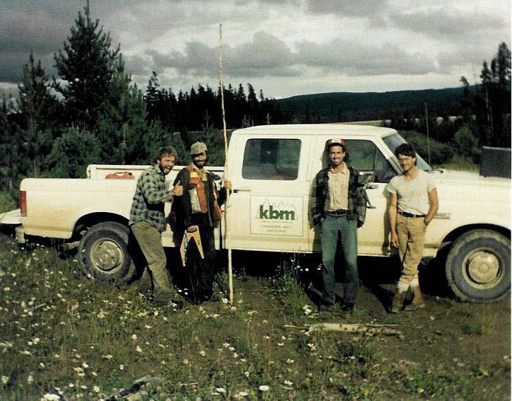
KBM Field Services provides large-scale forest resource and forest carbon inventory programs, along with environmental and ecological field sampling projects. Our crews bring extensive expertise and precision to on-the-ground data collection.
KBM Outdoors operates as an independent retail store, supplying field equipment and gear to outdoor working professionals and recreational enthusiasts.
KBM maintains offices in Thunder Bay, ON; Prince Albert, SK; Yellowknife, NT; and Fredericton, NB—strategically located to support operations from coast to coast to coast. With dedicated local staff at each location, we can quickly deploy personnel and resources to even the most remote project sites.
Over the past five decades, KBM has built lasting relationships with clients across Canada through our commitment to high-quality work, uncompromising standards, and exceptional value. With our eyes in the sky, ideas in the cloud, and boots on the ground, KBM blends cutting-edge technology with hands-on expertise. From airborne remote sensing to cloud-based geospatial solutions to on-the-ground fieldwork, we develop and embrace emerging technologies—delivering innovative solutions while maintaining the down-to-earth service that our clients trust.

Geomatics
KBM’s Geomatics team provides advanced GIS services to support the variety of clients we work with. Our image analysis lab is equipped with state-of-the-art hardware capable of operating the latest aerial data processing and GIS software suites. KBM Geomatics staff process, analyze and deliver data that was captured through our Aviation program with options for Web GIS delivery including interactive online mapping and cloud-based enterprise database management.

Field Services
KBM’s Field Services division provides complimentary ground-based data collection services with a wide range of applications. A main facet of KBM Field Services operations is our depth of understating when it comes to operation in remote locations. Our field technicians specialize in forest inventories, vegetation assessment, soil sampling and analysis, wildlife management, and GPS/GNSS surveying techniques.

Aviation
KBM’s Aviation division consists of a fleet of nine fixed-wing aircraft and a 14,000 sq ft hangar for staging operations and in-house maintenance. All aircraft have been specifically chosen and modified following Transport Canada guidelines for survey operations. KBM’s Aviation team collects high resolution imagery, oblique imagery, high-density LiDAR, and Geophysical data that is passed along to our Geomatics Team for processing and analysis.
Project
Thunder Bay International Airport Authority Inc. (TBIAAI)
Since 2017, KBM has supported the Thunder Bay Airport Authority with comprehensive GIS services. Leveraging imagery and LiDAR captured by KBM, our Geomatics team integrates Thunder Bay Airport AutoCAD datasets into a user-friendly GIS environment, creating a centralized hub for data visualization and access. Airport staff can easily view and interact with these datasets through a web application that provides various web mapping solutions and tools.

SaskPower Aerial Survey and Vegetation Analysis
KBM has been providing aerial survey and mapping services to SaskPower continuously since 2012. During this period, KBM has mapped SaskPower’s entire transmission network (13,500 km), completed as-built surveys for newly constructed lines, and performed periodic base map validation surveys to maintain data currency. Airborne data collection includes LiDAR, high resolution orthoimagery with stereo coverage, high resolution oblique photography, georeferenced video, and meteorological data collection. Acquired LiDAR data is classified and used to generate elevation models, PLS-CADD models of transmission assets, and vegetation analysis for at risk foliage growing towards the lines. KBM also delivers an online web application to SaskPower which hosts their asset data and allows for dynamic report generation and downloading of various datasets.

Vegetation Sampling Network (VSN)
Government of Ontario
KBM has supported the Ontario Government’s Vegetation Sampling Network annually since 2020. This ground plot network allows data to be collected for a variety of purposes at the same time and to the same standard via a set of documented protocols.

Wataynikaneyap Power
Wataynikaneyap Power is one of the largest First Nations-led infrastructure projects in Canada. KBM has been working with Wataynikaneyap Power since 2017 acquiring high density LiDAR and Aerial Photography and providing GIS analysis and mapping support for their diverse project needs throughout both the construction and operations phase of the project.
