

Aerial Solar Park and Solar Farm Inspections
Using the DJI Mavic Enterprise Series Thermal Drones KBM RPA Pilots conduct standard and comprehensive solar park inspections. High-resolution color and thermal imagery are collected and analyzed to support several analytical inspection categories including:
Equipment Health, Defect Detection, Vegetation and Fire Risk Monitoring, Module Cracking, Tracker Misalignment and Malfunction, Grid Interconnection Pole Inspection, Substation Remote Inspection, Safety and Physical Security Monitoring, Erosion Monitoring and Control, Storm Response, Construction Verification, and Site Walk Visual Investigations.

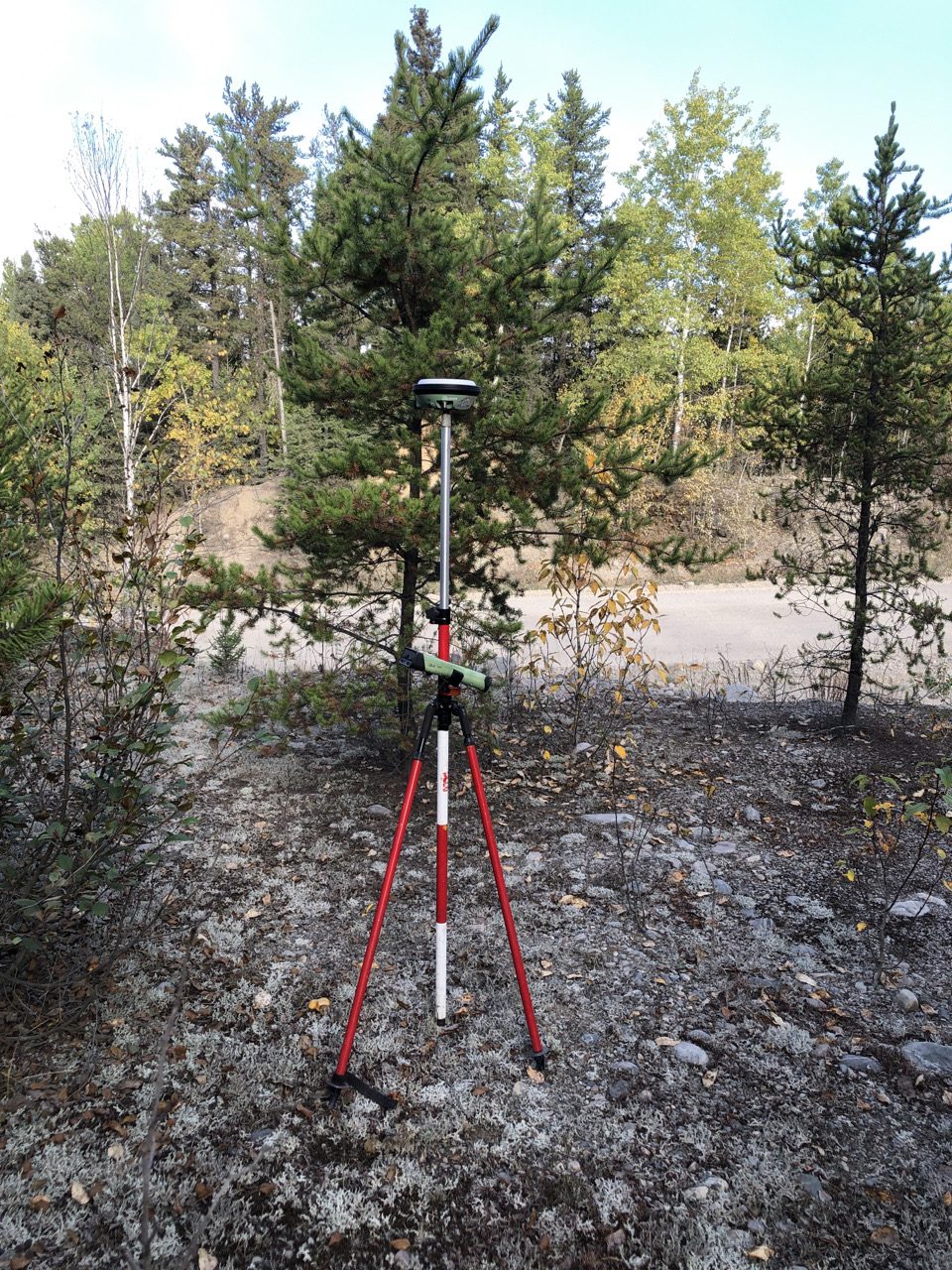
High-Precision GPS/GNSS Data Collection
Survey grade GPS (Global Position System) and GNSS (Global Navigation Satellite System) Receivers offer performance advantages for environmental field data collection, position and navigation, especially in forest environments under tree canopy. KBM field technicians employ industry standard GNSS equipment to collect high-precision GPS data. High spatial accuracy allows decision makers to precisely plan exploration activities, evaluate infrastructure and compare year over year data with confidence.


Wildlife Surveys
KBM offers a full suite of wildlife survey services. KBM Geomatics and Environmental Technicians are familiar with environmental assessment and species-at-risk legislation and support desktop-based environmental and species-at-risk screening programs. KBM’s Aviation and Field Services Divisions work collaboratively to support field-based and remotely sensed survey programs. Our services include: Low-level fixed-wing aerial reconnaissance/ocular surveys and charters, drone based behavioral studies, stereo photo-based population assessments, and ground-based habitat sampling and assessment.
Leveraging our collective cross-divisional expertise with KBM owned survey aircraft, in-house pilots and Aircraft Maintenance Engineers, and trained environmental specialists, KBM offers cost-effective and efficient solutions for all wildlife survey programs.